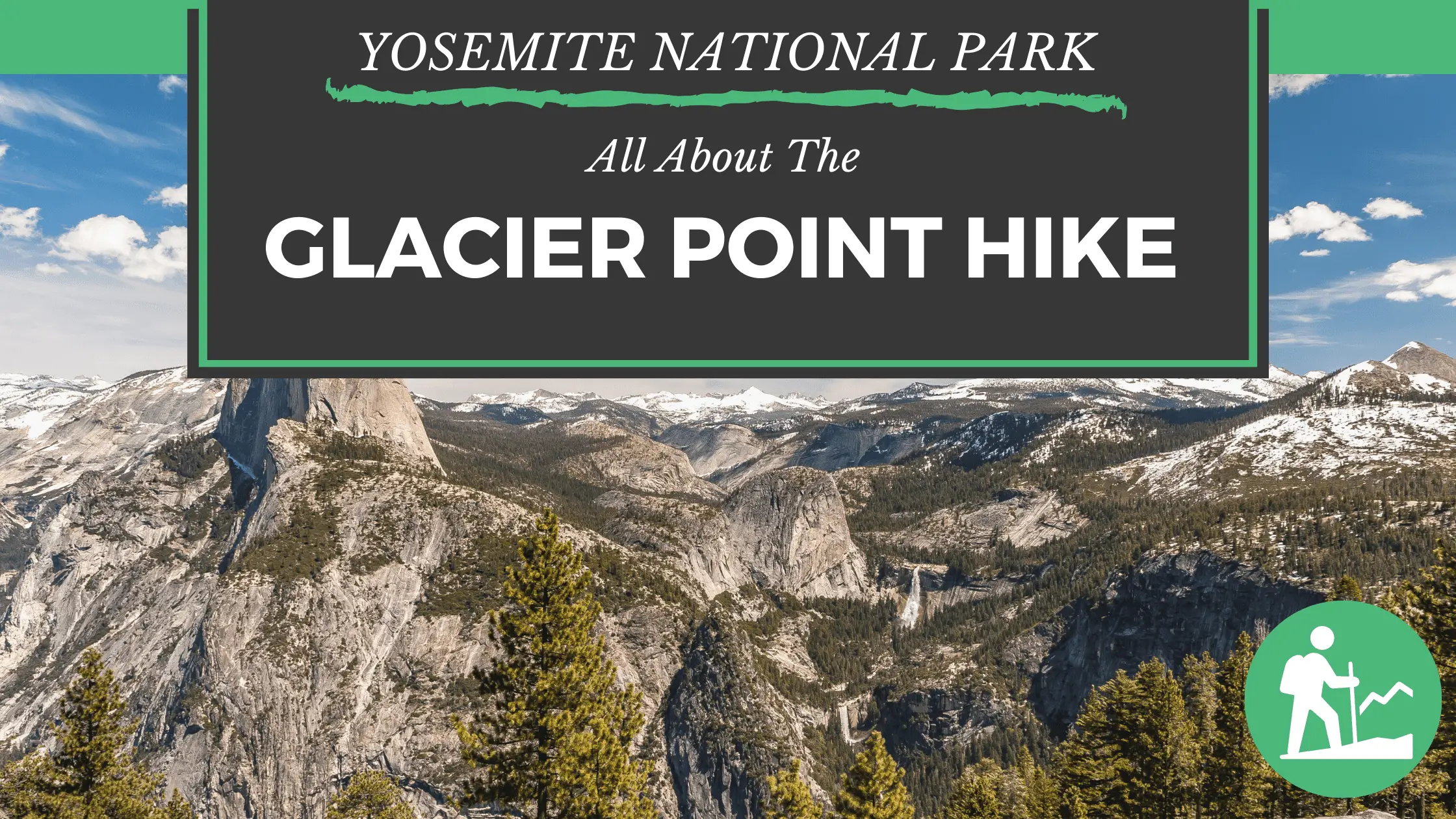
Glacier Point is one of the most beautiful locations at Yosemite National Park. Every year thousands of people visit here to enjoy the scenic beauty of nature and to get a break from the hustle-bustle of cities. You not only get the most stunning views of the valley, but also get to know a lot about natural flora and fauna. If you’re looking for a moderately easy hiking trail, then you should definitely consider hiking along the Glacier Point Trail. It’s a 1km trafficked loop trail near the valley that features a breathtaking waterfall and allows several other recreation activities. Below is everything you need to know before visiting Glacier Point, Yosemite!
Why Should You Visit Glacier Point Hike Yosemite?
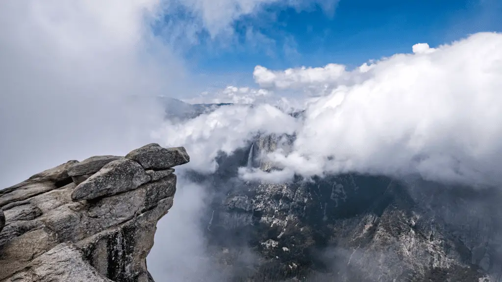
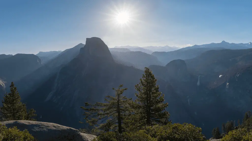
For those who want to take a break from their hectic schedule and busy lives and want to spend some quality time in the lap of nature, Glacier Point Yosemite is a perfect place to be in. As we already gave a hint, it offers the most beautiful view of Yosemite Valley. After Half Dome, it is the second most preferred location of the Yosemite visitors. Below are a few things to note about this beautiful hike :
Glacier Point waterfall is one of the highest in North America. It stretches up to 2,425ft if we look at it vertically. The best time to see the waterfall is in April and May when it is almost full. The vertical drop is extremely long that you’ll feel like water is falling in slow motion but as you hike near its bottom, you’ll see how powerful the fall is.
Glacier Point Trail Hike Yosemite – General Information
Total Distance of The Trail: 1.6 km or 1 mile (round trip)
Elevation : 2,200 meters or 7,200 feet
Total Hiking Time: 20 Minutes
Difficulty Level: Glacier Point hike is one of the easiest hikes of Yosemite Valley. It is a great day hike that has plenty of beautiful views and recreation to offer.
Parking: You’ll find a huge parking lot at the Glacier Point trailhead. It is occasionally filled during peak season but you’ll easily get space after one or two loops.
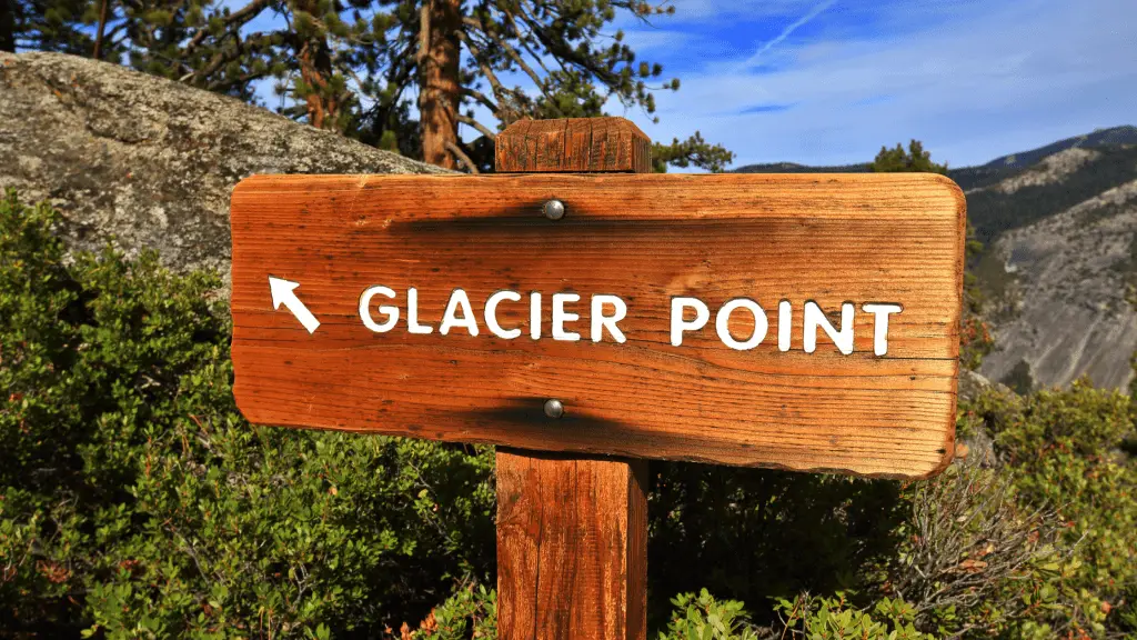
How To Approach Glacier Point Trail Hike
Glacier Point can be approached through the Glacier Point Road. Here is how you can hike to Glacier Point :
From Yosemite’s South Entrance, take a left and drive around 17 miles till you reach the Glacier Point Road.
From Yosemite Valley, head on to the Highway 41 exit and drive for 9 miles to the Glacier Point Road.
After reaching Glacier Point Road, simply drive along the way till you get to the Glacier Point parking lot which is roughly at a distance of 26km or 16 miles. Once you get there, you’ll have a panoramic view of the trailhead.
Best Time to Visit Glacier Point: Generally, the crowd is low from early November to late May, because the Glacier Point road is closed during this time due to heavy snowfall. You can still reach there but using cross-country skis. Apart from these months, the road is open throughout the year and it is always a fabulous time to see the beauty of Glacier Point. If you love sunsets, then consider visiting the place during Springtime. The views you’ll get looking down Nevada Falls and Vernal are unforgettable.
Crowd Factor At Glacier Point Trail Hike:
When the Glacier Point Road is open, crowds are generally high. Because the hike is easy and short plus you get the most breathtaking views, a large number of visitors are attracted towards this area. If you don’t want to face a high crowd then consider hiking to the Taft Point or Sentinel Dome instead. Dewey Point situated at West is another low crowd area in the Yosemite. In fact, it is the only trail that has less crowd during summertime as compared to winters. During winters it attracts a significant crowd for snowsports and cross country skiing.
Transport Services To The Glacier Point Trail
There is no shuttle service available for Glacier Point Trail. Also, the bus service is available only for summer tours. You’ve to make reservations for bus service in advance if you’re visiting here during Summer. So, the only transport option you have is using your car to drive along. Don’t expect a shuttle or bus service that will take you back to the parking lot, go at your own responsibility.
Various Hikes You’ll Encounter
McGurk Meadow, Dewey Point And Bridalveil Creek
Difficulty Level: Moderate
Dewey Point is an 8. 2-mile trail on a round trip. You can easily finish it in 3 to 4 hours.
Bridalveil Creek is a 4-mile trail on a round trip which you can easily complete within 2 to 3 hours.
Start at McGurk Meadow trailhead which is just 0.2 mile from the Bridalveil Creek Campground.
The trail starts from downhill 0.8 miles towards McGurk Meadow and an old cabin site that once belonged to John McGurk. At a distance of one mile from this old cabin, there are short trails to Bridalveil creek and Dewey Point. Don’t forget to check out the meadows here for some beautiful wildflowers.
3 Brothers And Yosemite Falls From Taft Point
Taft Point and Sentinel Dome are moderate level hikes with a distance of 2.2 miles and can be completed in 2 hours. Start from Taft Point or Sentinel Dome which is situated 6 miles in the east of Bridalveil Creek Campground.
On reaching the trailhead, take a left turn and head on towards The Fissures and Taft Point. You’ll be able to walk easily through the luscious forest and meadow that are filled with beautiful wildflowers. Further, at the Taft Point and The Fissure, you’ll get the pleasure to see the magnificent landscape of the valley.
On reaching the trailhead, take a right turn and you’ll reach the Sentinel Dome. Close to the dome, the trail joins an old road. Keep following the road at the northeast side of the Sentinel Dome where the elevation is low. Hike to the top of the dome and enjoy a 360� panoramic view of the Yosemite Valley. However, we don’t recommend hiking during heavy storms and rains.
Mono Meadow To Mount Starr King
It’s a strenuous hike with a distance of 3 miles with a round trip and can be completed in a maximum of 3 hours. It starts from Mono Meadow parking lot which is situated 2.5 miles from the Bridalveil Creek Campground.
The trail comes down to Mono Meadow which is an area that stays wet the entire summer. So, if you’re visiting during this time, expect a lot of mud, puddles and log crossings. Keep following the trail from the east of meadow for about half a mile to reach an unmarked clearing. Once you get there, you can enjoy the fabulous views of the Mount Starr King, Half Dome and the Clark Range.
Ostrander Lake
It is again a strenuous hike that is approx 12 miles long with a round trip and will take 9 to 10 hours to complete. It starts from Ostrander Lake trailhead which is 1.3 mile east of Bridalveil campground.
First half of this trail is pretty easy and comes down slowly through the wildflower-filled meadows and forest. You’ll be able to observe the regrowth and scars of the lodgepole pine forest fire incident that took place in 1987. On reaching the high point, you’ll be able to see the magnificent views of the Clark Range, Mount Starr King and other domes of the valley. Further, at the end of the trek, you’ll land near the stunning Ostrander Lake.
Are Pets Allowed At Glacier Point hike Yosemite?
Yes, the trail is dog-friendly, you can definitely take your fur buddies to have some fun and enjoyment. However, they should be on a leash all the time.
Packing Suggestion For Glacier Point
Backpack – Keep a sturdy and spacious backpack with you. It should have enough space to fit in all of your hiking essentials.
Reusable Water Bottle – Consider having a huge capacity reusable water bottle while hiking along the trails. Avoid using one-time-use plastic bottles as they harm the environment and don’t suffice with your water requirements.
First Aid Kit – Bring a well-organized first aid kit with all the basic medicines, bandages, muscle spray and ointments. While the trail is safe and not that difficult, you never know when you might get injured.
Trekking Poles – Good quality trekking poles will make trekking much easier for you. Here are the best seller trekking poles.
Hiking Boots – With the right hiking boots, you’ll be able to trek without putting much stress on your feet. So, consider getting good quality boots.
Thermos Flask – Thermos Flasks come handy for carrying hot beverages from the restaurants and eating places for your hikes. Here is one great option for you.
High-Calorie Snacks – Although there is no shortage of eating places and restaurants at Glacier Point Trail, it’s a good idea to keep some high-calorie snacks with you while you’re hiking.
Final Words
Glacier Point Trail Yosemite is surely a must-visit region of the valley. The trails here are easy and offer plenty of beautiful views to offer. There is no shuttle or bus service in this area, so consider visiting with your own vehicle. Also, if you’re visiting during the summer, make reservations for the bus in advance.
